software
05.2025
Carte Céleste
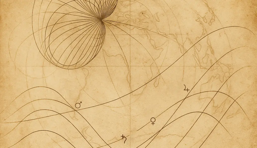
A cartography tool for orientation.
Geometric input. Planetary risings.
Built for comparative reflection across place and relation.
This app maps planetary rising lines—one layer among many.
Charts can be compared across individuals to observe overlap, distance, or convergence.
Lightweight, privacy-aware architecture.
Charts are processed client-side and via stateless API.
Multi-user mode supported. Invite your fam to check for best places.
Feel free to fork or adapt the code:
→ [https://github.com/scopalaffairs/astrocarto]
→ see also: Beichtstuhl