 scopal affairs
Carte Céleste
An astrocartography tool for mapping planetary rising lines and comparing charts across people and places.
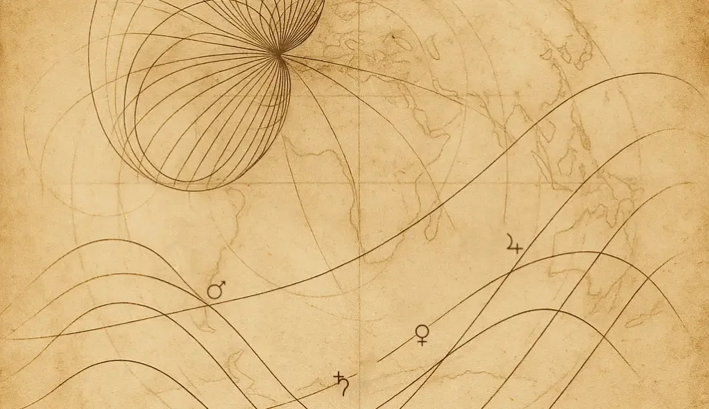
Carte Céleste maps planetary rising lines on a world map (astrocartography). Charts of several people can be compared to see where lines overlap, diverge or converge, for example to compare places for several people at once.
Charts are processed in the browser and through a stateless API. Several people can be added in one session.
The source code is open: github.com/scopalaffairs/astrocarto.